This year the QCARC Field Day site will be at the Sandy Valley Community Church, located just off Rte. 950, between Falls Creek and Reynoldsville.
— CLICK THE MAP FOR LARGE DISPLAY — — CLICK THE RED FD 17 LOGO FOR NATIONAL EVENT INFO —

![]()
|
||||
|
Should QCARC continue giving VE Exams before club meetings in even months?
Total Voters: 3  |
As an Exec Board member I am requesting an Exec Board meeting, prior to the regular Club meeting June 16 if at all possible. Please advise me ASAP what may be the best date and time, if any in particular, for you to attend an Exec Board meeting before the next regular meeting. I anticipate the meeting to be at a location to be determined in Du Bois. Please email me ASAP with the date and time you anticipate that you could attend at: “bryan at wa3ufn dot com” Please excuse the late notice!
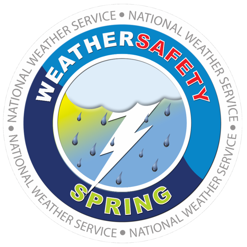
Details of the tornado can be found at the State College NWS website: http://www.weather.gov/ctp/MatthewsRunTornado National Weather Service Pittsburgh will be conducting a BASIC SKYWARN course at the Punxsutawney Weather Discovery Center 201 N Findley St on Thursday April 27, 2017 starting at 6PM. To register, email marlene@weatherdiscovery.org This course is open to ANYONE interested in Weather. Hams are encouraged to attend. If you are a current SKYWARN observer for Pittsburgh NWS, they request observers attend a course every 5 years to remain current.
Check out a two-minute N.W.S. video on preparing for a tornado at: https://youtu.be/uE66ganofF0 Following is the synopsis of the 2016 Clearfield severe weather from the National Weather Service. 1945EST0 A small, but potent thunderstorm developed over Clearfield County just north of the town of Clearfield just before 22:00Z Thursday June 2nd, 2016. The storm moved ittle and intensified, and by 23Z was producing very heavy rain. The storm sat over the Clearfield-Lawrence County Airport (KFIG) where 5.16 of rain fell essentially 3 hours. Initially Flood Advisories were issued (2316Z), but as the storm sat in one spot, the advisory was upgraded to a Flash Flood Warning at 0038Z. Significant flooding was reported near the town of Clearfield, with three homes flooded, and according to Clearfield County EMA, 21 people were rescued from their homes and taken to a shelter. Shortly after midnight a house on West Front Street exploded when the owners tried to turn their power back on. Four residents of the home suffered unknown injuries. Hardest hit areas were near Route 879 and Industrial Road (see fig 2), and multiple streets in downtown Clearfield including Turnpike, Nichols and Merrill Street. A small, but potent thunderstorm developed over Clearfield County just north of the town of Clearfield just before 22:00Z Thursday June 2nd, 2016. The storm moved little and by 23Z was producing very heavy rain. The storm sat over the Clearfield -Lawrence County Airport (KFIG) where 5.16 of rain fell essentially 3 hours. Initially Flood Advisories were issued (2316Z), but as the storm sat in one spot, the advisory was upgraded to a Flash Flood Warning at 0038Z. Significant flooding was reported near the town of Clearfield, with three homes flooded, and according to Clearfield County EMA 21 people were rescued from their homes and taken to a shelter. Fortunately there were no reports of serious injuries. Hardest hit areas were near Route 879 and Industrial Road, and multiple streets in downtown Clearfield including Turnpike, Nichols and Merrill Street.
Hi folks, by clicking on the Club logo below, you will find the current net format to be used for the VHF and UHF nets. This format was first used for the February 19, 2017 VHF and UHF nets and is available for download so that anyone can run the net. Running the net may not flow easily if it is your first time but after a couple times, running the net will likely be second nature. Thank You and Good Luck. Click the “NET FORMAT“ icon to download the file. Corrected version: 3/26/2017 The 2018 membership dues for the Quad County Amateur Radio Club are due. Please note the updated dues structure. A fillable .pdf can be downloaded using the following link: 2018 QCARC Membership Application Please make checks payable to: Quad County Amateur Radio Club.
The .pdf is available to download at: http://www.weather.gov/ctp/SkyWarn The week of November 7 – 11, 2016 is the National Weather Service Winter Weather Awareness Week in Pennsylvania. Currently it sure does not seem like winter is coming but rest assured it is! Some of the indicators seem to predict a harsh winter. I have a boatload of acorns on the ground which is supposed to be indicative of a bad winter but I recall at least once before when there was a plentiful crop of acorns and the winter was rather mild. To keep up on the information that the National Weather Service will be posting during the week, be sure to visit the web page daily at
A surprising statistic in the U.S.A. for 2016, as of August 21 there have been 27 fatalities due to lightning, which is the total for 2015! It is difficult to definitively determine why so many people have been killed by lightning strikes so far this year. It could be that the word is not getting out. It could be that people are not hearing the information about the seriousness of lightning. It could be that people are just plain ignoring the fact that lightning is a major factor in deaths, especially during outdoor activities. Personally I believe it is the last possibility.  Lightning strikes the Empire State Building and other buildings Please heed the warnings especially about moving indoors when you first hear lightning. I have first-hand experience when it comes to seeing the “bolt out the blue”. When the “bolt out of the blue” struck, I believe the storm was about 10 miles away. By the way, myself nor the other fellow who I was talking to heard thunder! Fortunately we were in his house but only about eighty feet from the tree that was struck. That was one lesson learned but everyone does not have the luck of a safe experience of a close strike to talk about. Click on the photo of lightning striking the building for and interesting list of “Lightning Myths and Facts”. Check out the National weather Service web site about the lightning strike statistics at: Also check out the web site on ways lightning strikes people at:
The Quad County Amateur Radio Club is a Weather-Ready Nation Ambassador “Weather-Ready Nation Ambassador™ and the Weather-Ready Nation Ambassador™ logo
|
|||
|
Rate this site @ dxzone.com
Copyright © 2025 The Quad-County Amateur Radio Club - All Rights Reserved
Powered by WordPress & Atahualpa 105 queries. 0.999 seconds. 5 visitors online now2 guests, 3 bots, 0 members Max visitors today: 21 at 10:46 am EDT This month: 78 at 10-19-2025 05:50 pm EDT This year: 161 at 09-12-2025 08:18 am EDT All time: 198 at 02-01-2024 03:13 pm EST     |
||||