
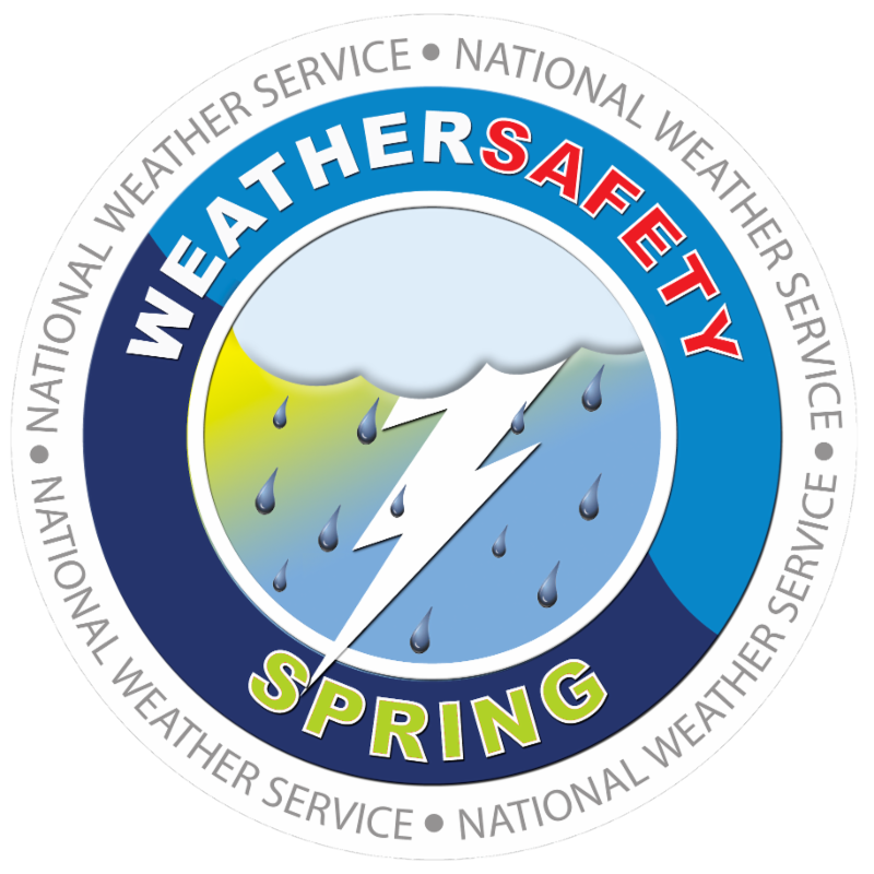
 Spring really is not too far away and with the change of seasons some rather interesting but destructive weather can occur. One of the more serious weather phenomenons we have to occasionally deal with is the tornado. While not a frequent issue, it is one that we need to be prepared for. Understand the Tornado Watch and Tornado Warning Alerts. Be sure your cell phone has the emergency alerts function turned on. There are numerous weather advisory apps for Smartphones that are very helpful.
Check out a two-minute N.W.S. video on preparing for a tornado at: https://youtu.be/uE66ganofF0
Another weather issue we have to deal with is the severe thunderstorm. It was only in 2016, that the Clearfield area was hit with thunderstorms that materialized and stalled over the area. These storms produced flooding unseen by many in some fifty-plus years.
Following is the synopsis of the 2016 Clearfield severe weather from the National Weather Service.
1945EST0
000EST 0 0 0.00K 0.00K Flash Flood
A small, but potent thunderstorm developed over Clearfield County just north of the town of Clearfield just before 22:00Z Thursday June 2nd, 2016. The storm moved ittle and intensified, and by 23Z was producing very heavy rain. The storm sat over the Clearfield-Lawrence County Airport (KFIG) where 5.16 of rain fell essentially 3 hours.
Initially Flood Advisories were issued (2316Z), but as the storm sat in one spot, the advisory was upgraded to a Flash Flood Warning at 0038Z.
Significant flooding was reported near the town of Clearfield, with three homes flooded, and according to Clearfield County EMA, 21 people were rescued from their homes and taken to a shelter.
Shortly after midnight a house on West Front Street exploded when the owners tried to turn their power back on. Four residents of the home suffered unknown injuries.
Hardest hit areas were near Route 879 and Industrial Road (see fig 2), and multiple streets in downtown Clearfield including Turnpike, Nichols and Merrill Street.
A small, but potent thunderstorm developed over Clearfield County just north of the town of Clearfield just before 22:00Z Thursday June 2nd, 2016. The storm moved little and by 23Z was producing very heavy rain. The storm sat over the Clearfield -Lawrence County Airport (KFIG) where 5.16 of rain fell essentially 3 hours. Initially Flood Advisories were issued (2316Z), but as the storm sat in one spot, the advisory was upgraded to a Flash Flood Warning at 0038Z.
Significant flooding was reported near the town of Clearfield, with three homes flooded, and according to Clearfield County EMA 21 people were rescued from their homes and taken to a shelter. Fortunately there were no reports of serious injuries. Hardest hit areas were near Route 879 and Industrial Road, and multiple streets in downtown Clearfield including Turnpike, Nichols and Merrill Street.
![]()


Leave a Reply